EMIS
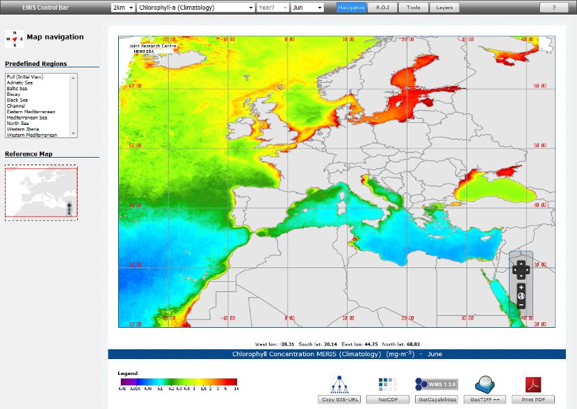
The Marine Geoportal EMIS relies on biological and physical variables generated from both hydrodynamic models and satellite remote sensing.
The Environmental Marine Information System (EMIS) is a geo-portal application that provides access to spatial, temporal, physical and biological marine variables, and related environmental information, derived from satellite remote sensing and/or numerical modelling.
With its associated geographic services (map display, analysis tool, web services, discovery tool, etc.) EMIS supports the assessment and the monitoring of the European regional seas. |
 |