EMIS-R Marine Analyst
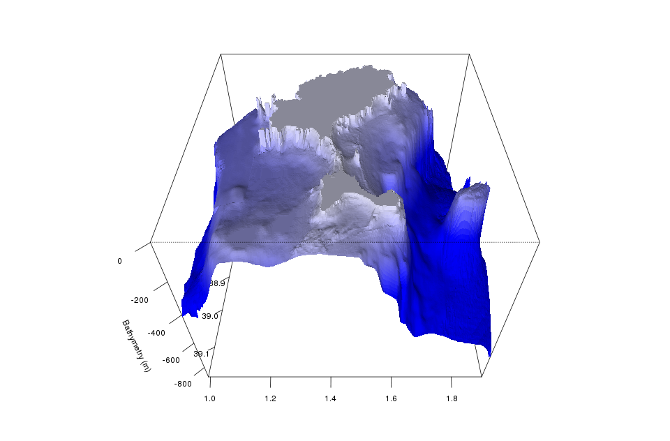
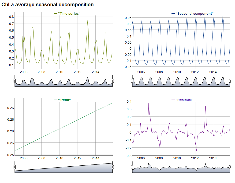
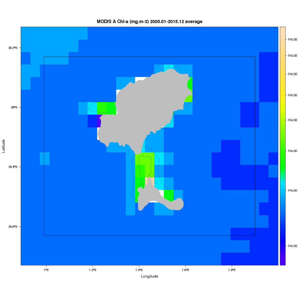
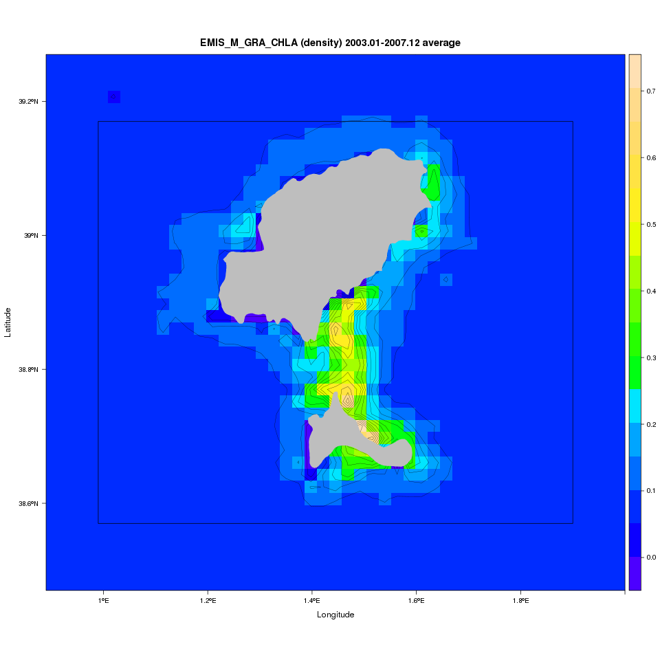
The EMIS-R Marine Analyst is a R-tool dedicated to the environmental assessment of marine areas as Marine Protected Areas (MPAs) and political assessment units.
It provides a wide range of information as maps and statistics on the selected marine area. The processed datasets are the following:
|
|
|
Example of an assessment report: |
 |
 |
 |  |